For additional information on sending your neighbourhood mail through Precision Targeter, please refer to the Neighbourhood Mail Customer Guide at the link below: www.canadapost.ca/tools/pg/serviceoverview/cpnmguides-e.asp
When the neighbourhood mailing data accuracy cannot be guaranteed the tool greys out the date.
The Postal Code is a six-character uniformly structured, alphanumeric code in the form “ANA NAN” where “A” represents an alphabetic character and “N” represents a numeric character. A Postal Code is made up of two segments: “forward sortation area” and “local delivery unit.” The forward sortation area is a combination of three characters (alpha-numeric-alpha). It identifies a major geographic area in an urban or a rural location. The local delivery unit is a combination of three characters (numeric-alpha-numeric). It identifies the smallest delivery unit within a forward sortation area.
In order to increase the map on the screen, click on 
Once you have completed the 3 steps in the tool, you will be brought to the map view directly. From the map view, click on 
Once you are in Data view, click on 
Once you are ready to save your mailing plan, click on the 3 vertical dots at the top right hand corner of your screen 
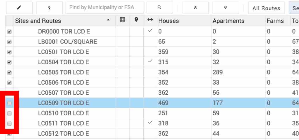
There are 2 ways you can remove routes in Precision Targeter:


Once you are signed in to the Canada Post “Sign in” page, follow these steps:
